House near Kinwarton
Introduction
The photograph on this page of House near Kinwarton by Nigel Mykura as part of the Geograph project.
The Geograph project started in 2005 with the aim of publishing, organising and preserving representative images for every square kilometre of Great Britain, Ireland and the Isle of Man.

There are currently over 7.5m images from over 14,400 individuals and you can help contribute to the project by visiting https://www.geograph.org.uk
House near Kinwarton
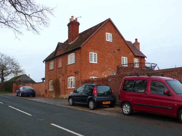
Image: © Nigel Mykura Taken: 15 Mar 2013
This distinctive red brick house stands on its own on Captain's Hill the B4089 road running west out of Alcester towards great Alne
Images are licensed for reuse under creativecommons.org/licenses/by-sa/2.0
Image Location
Latitude
52.223262
Longitude
-1.85093