Llangollen Mooring Basin
Introduction
The photograph on this page of Llangollen Mooring Basin by John Haynes as part of the Geograph project.
The Geograph project started in 2005 with the aim of publishing, organising and preserving representative images for every square kilometre of Great Britain, Ireland and the Isle of Man.

There are currently over 7.5m images from over 14,400 individuals and you can help contribute to the project by visiting https://www.geograph.org.uk
Llangollen Mooring Basin
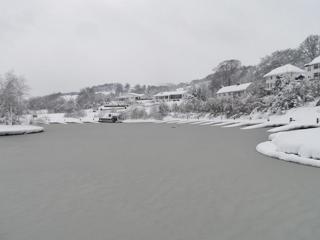
Image: © John Haynes Taken: 23 Mar 2013
Snow and ice with a boat trapped by fallen trees along the canal. Image] Image]
Images are licensed for reuse under creativecommons.org/licenses/by-sa/2.0
Image Location
Latitude
52.973514
Longitude
-3.173265