Wansdyke crosses un-named road by South Lodge
Introduction
The photograph on this page of Wansdyke crosses un-named road by South Lodge by Stuart Logan as part of the Geograph project.
The Geograph project started in 2005 with the aim of publishing, organising and preserving representative images for every square kilometre of Great Britain, Ireland and the Isle of Man.

There are currently over 7.5m images from over 14,400 individuals and you can help contribute to the project by visiting https://www.geograph.org.uk
Wansdyke crosses un-named road by South Lodge
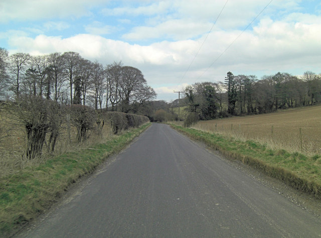
Image: © Stuart Logan Taken: 29 Mar 2013
The line of trees delineate the 5th or 6th C. East Wansdyke; an impressive linear earthwork, consisting of a ditch and bank running approximately east-west, between Savernake Forest and Morgan's Hill. For more detail see: http://en.wikipedia.org/wiki/Wansdyke_(earthwork)
Images are licensed for reuse under creativecommons.org/licenses/by-sa/2.0
Image Location
Latitude
51.385975
Longitude
-1.818454