Pastureland on the hillside south of Tan-Lan
Introduction
The photograph on this page of Pastureland on the hillside south of Tan-Lan by Maggie Cox as part of the Geograph project.
The Geograph project started in 2005 with the aim of publishing, organising and preserving representative images for every square kilometre of Great Britain, Ireland and the Isle of Man.

There are currently over 7.5m images from over 14,400 individuals and you can help contribute to the project by visiting https://www.geograph.org.uk
Pastureland on the hillside south of Tan-Lan
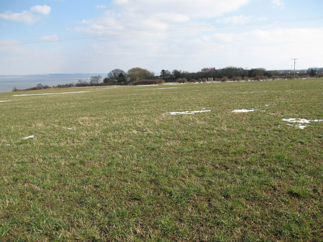
Image: © Maggie Cox Taken: 29 Mar 2013
Through the trees Glasdir can be seen left of centre and houses on the road into Pen-y-ffordd right of centre. Far left there are views across the Dee estuary to the Wirral
Images are licensed for reuse under creativecommons.org/licenses/by-sa/2.0
Image Location
Latitude
53.330107
Longitude
-3.313069