Former council houses, Fourth Avenue, Teignmouth
Introduction
The photograph on this page of Former council houses, Fourth Avenue, Teignmouth by Robin Stott as part of the Geograph project.
The Geograph project started in 2005 with the aim of publishing, organising and preserving representative images for every square kilometre of Great Britain, Ireland and the Isle of Man.

There are currently over 7.5m images from over 14,400 individuals and you can help contribute to the project by visiting https://www.geograph.org.uk
Former council houses, Fourth Avenue, Teignmouth
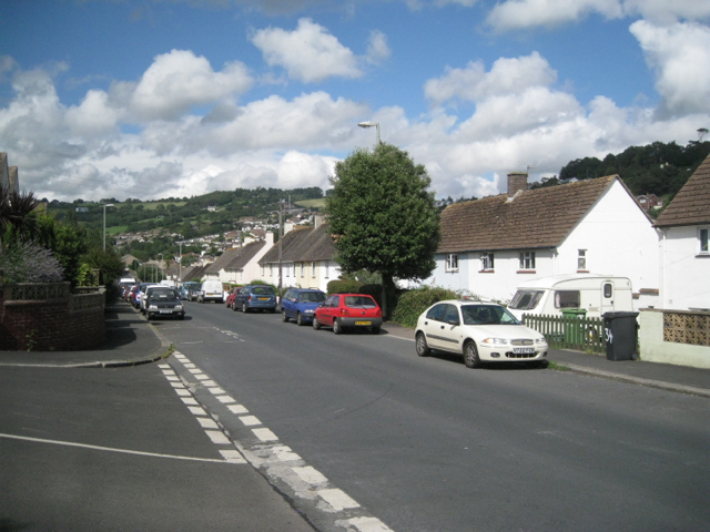
Image: © Robin Stott Taken: 19 Aug 2012
The steepening hillside puts the ground floors mostly below street level.
Images are licensed for reuse under creativecommons.org/licenses/by-sa/2.0
Image Location
Latitude
50.550471
Longitude
-3.509984