Terraced housing on a slope
Introduction
The photograph on this page of Terraced housing on a slope by Bill Boaden as part of the Geograph project.
The Geograph project started in 2005 with the aim of publishing, organising and preserving representative images for every square kilometre of Great Britain, Ireland and the Isle of Man.

There are currently over 7.5m images from over 14,400 individuals and you can help contribute to the project by visiting https://www.geograph.org.uk
Terraced housing on a slope
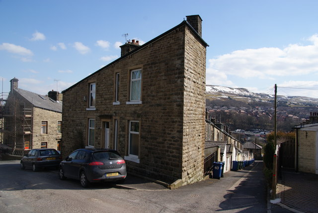
Image: © Bill Boaden Taken: 29 Mar 2013
The bottom of Hargreaves Drive, Rawtenstall, from where several rows of terraces descend to the roundabout at the bottom.
Images are licensed for reuse under creativecommons.org/licenses/by-sa/2.0
Image Location
Latitude
53.701191
Longitude
-2.290481