Low Hills Lane , Lindley cum Quarmby (near Huddersfield)
Introduction
The photograph on this page of Low Hills Lane , Lindley cum Quarmby (near Huddersfield) by Humphrey Bolton as part of the Geograph project.
The Geograph project started in 2005 with the aim of publishing, organising and preserving representative images for every square kilometre of Great Britain, Ireland and the Isle of Man.

There are currently over 7.5m images from over 14,400 individuals and you can help contribute to the project by visiting https://www.geograph.org.uk
Low Hills Lane , Lindley cum Quarmby (near Huddersfield)
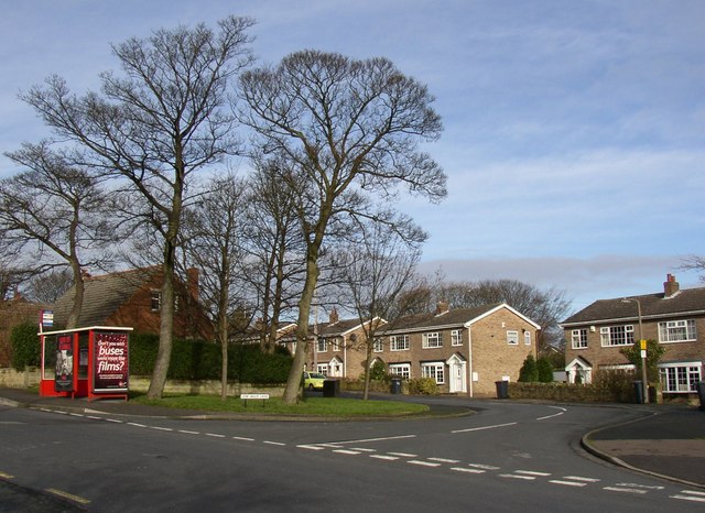
Image: © Humphrey Bolton Taken: 13 Feb 2007
This is actually the old line of Crosland Road, before the straight alignment (going off to the left in the photograph) for it was made in the mid-20C (before 1951).
Images are licensed for reuse under creativecommons.org/licenses/by-sa/2.0
Image Location


Leaflet Map data © OpenStreetMap
Latitude
53.657475
Longitude
-1.832005