Contrasting housing in Jubilee Place
Introduction
The photograph on this page of Contrasting housing in Jubilee Place by Christine Johnstone as part of the Geograph project.
The Geograph project started in 2005 with the aim of publishing, organising and preserving representative images for every square kilometre of Great Britain, Ireland and the Isle of Man.

There are currently over 7.5m images from over 14,400 individuals and you can help contribute to the project by visiting https://www.geograph.org.uk
Contrasting housing in Jubilee Place
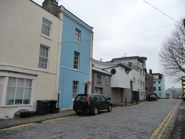
Image: © Christine Johnstone Taken: 23 Mar 2013
The nearest houses are built over a railway line.
Images are licensed for reuse under creativecommons.org/licenses/by-sa/2.0
Image Location
Latitude
51.447558
Longitude
-2.592519