Winkleigh: the village
Introduction
The photograph on this page of Winkleigh: the village by Martin Bodman as part of the Geograph project.
The Geograph project started in 2005 with the aim of publishing, organising and preserving representative images for every square kilometre of Great Britain, Ireland and the Isle of Man.

There are currently over 7.5m images from over 14,400 individuals and you can help contribute to the project by visiting https://www.geograph.org.uk
Winkleigh: the village
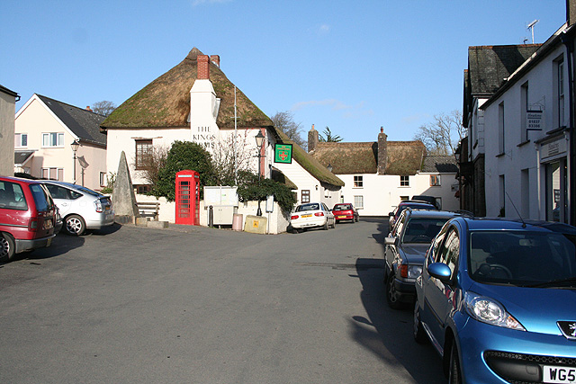
Image: © Martin Bodman Taken: 14 Feb 2007
Winkleigh existed on its hilltop site in Saxon times. Looking north east towards the Kings Arms. A second inn, the Seven Stars, is hidden beyond, and was rebuilt after a fire.
Images are licensed for reuse under creativecommons.org/licenses/by-sa/2.0
Image Location
Latitude
50.856278
Longitude
-3.944952