View along Fellside Road to Byermoor Farm
Introduction
The photograph on this page of View along Fellside Road to Byermoor Farm by Robert Graham as part of the Geograph project.
The Geograph project started in 2005 with the aim of publishing, organising and preserving representative images for every square kilometre of Great Britain, Ireland and the Isle of Man.

There are currently over 7.5m images from over 14,400 individuals and you can help contribute to the project by visiting https://www.geograph.org.uk
View along Fellside Road to Byermoor Farm
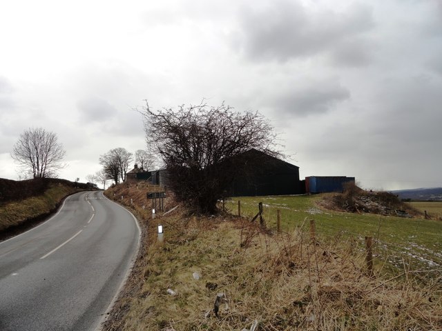
Image: © Robert Graham Taken: 27 Mar 2013
This farm stands by itself on the Fellside Road. Although only a narrow country road, this carries a lot of fast traffic, as it provides a quick route from Burnopfield to Whickham and then on to Tyneside.
Images are licensed for reuse under creativecommons.org/licenses/by-sa/2.0
Image Location
Latitude
54.916538
Longitude
-1.710747