Memorial Road, near the northern end of Gays Road
Introduction
The photograph on this page of Memorial Road, near the northern end of Gays Road by Christine Johnstone as part of the Geograph project.
The Geograph project started in 2005 with the aim of publishing, organising and preserving representative images for every square kilometre of Great Britain, Ireland and the Isle of Man.

There are currently over 7.5m images from over 14,400 individuals and you can help contribute to the project by visiting https://www.geograph.org.uk
Memorial Road, near the northern end of Gays Road
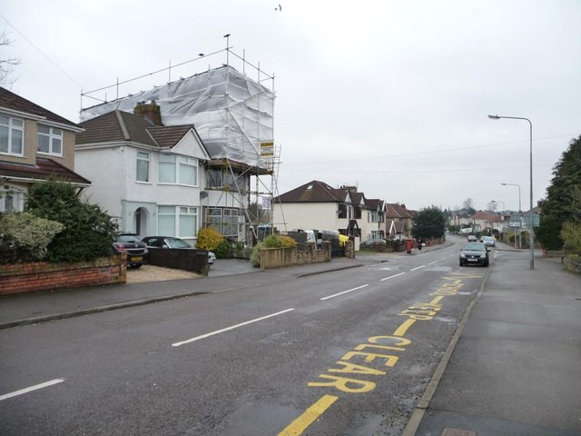
Image: © Christine Johnstone Taken: 23 Mar 2013
The house on the junction must be getting a new roof, or a loft extension.
Images are licensed for reuse under creativecommons.org/licenses/by-sa/2.0
Image Location
Latitude
51.443666
Longitude
-2.522109