Shilbottle village
Introduction
The photograph on this page of Shilbottle village by Barbara Carr as part of the Geograph project.
The Geograph project started in 2005 with the aim of publishing, organising and preserving representative images for every square kilometre of Great Britain, Ireland and the Isle of Man.

There are currently over 7.5m images from over 14,400 individuals and you can help contribute to the project by visiting https://www.geograph.org.uk
Shilbottle village
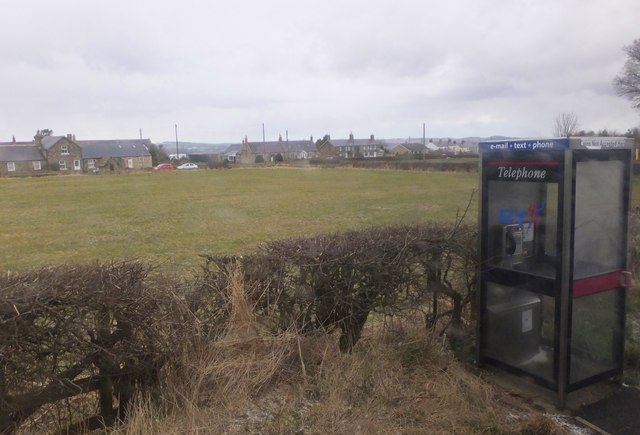
Image: © Barbara Carr Taken: 27 Mar 2013
View across the green from the telephone box (which is marked on the larger-scale map).
Images are licensed for reuse under creativecommons.org/licenses/by-sa/2.0
Image Location
Latitude
55.371468
Longitude
-1.698448