Highfield Farm
Introduction
The photograph on this page of Highfield Farm by Chris Heaton as part of the Geograph project.
The Geograph project started in 2005 with the aim of publishing, organising and preserving representative images for every square kilometre of Great Britain, Ireland and the Isle of Man.

There are currently over 7.5m images from over 14,400 individuals and you can help contribute to the project by visiting https://www.geograph.org.uk
Highfield Farm
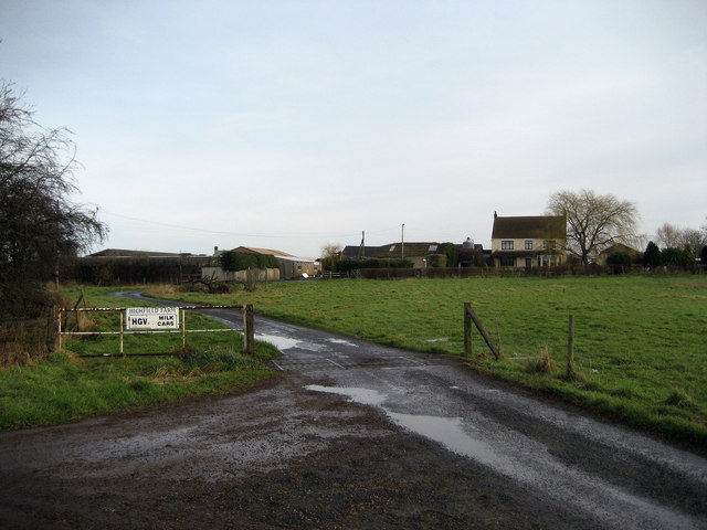
Image: © Chris Heaton Taken: 14 Feb 2007
Farm about half a mile north of Pickhill
Images are licensed for reuse under creativecommons.org/licenses/by-sa/2.0
Image Location
Latitude
54.254368
Longitude
-1.467049