Closed road to White End Park Farm
Introduction
The photograph on this page of Closed road to White End Park Farm by Simon Mortimer as part of the Geograph project.
The Geograph project started in 2005 with the aim of publishing, organising and preserving representative images for every square kilometre of Great Britain, Ireland and the Isle of Man.

There are currently over 7.5m images from over 14,400 individuals and you can help contribute to the project by visiting https://www.geograph.org.uk
Closed road to White End Park Farm
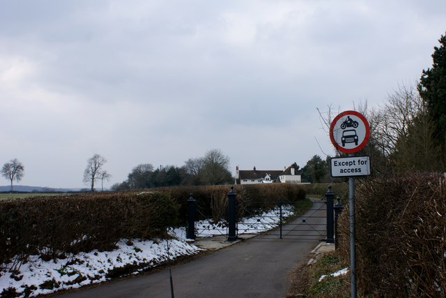
Image: © Simon Mortimer Taken: 27 Mar 2013
The loop of road leading from Blackwell Hall Lane to White End Park Farm has recently been gated and closed to through traffic.
Images are licensed for reuse under creativecommons.org/licenses/by-sa/2.0
Image Location
Latitude
51.693925
Longitude
-0.571094