Snowy B4116 through Bentley Common
Introduction
The photograph on this page of Snowy B4116 through Bentley Common by Rob Farrow as part of the Geograph project.
The Geograph project started in 2005 with the aim of publishing, organising and preserving representative images for every square kilometre of Great Britain, Ireland and the Isle of Man.

There are currently over 7.5m images from over 14,400 individuals and you can help contribute to the project by visiting https://www.geograph.org.uk
Snowy B4116 through Bentley Common
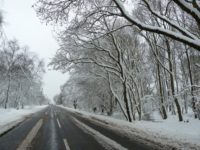
Image: © Rob Farrow Taken: 23 Mar 2013
The B4116 runs through a wood on locally comparatively elevated ground (178m, 584ft) as a result it was one of the most snow-covered parts of the surrounding area. The Bentley area is a very rural part of North Warwickshire with numerous small narrow lanes branching off the B4116 to villages and hamlets. See also Image]
Images are licensed for reuse under creativecommons.org/licenses/by-sa/2.0
Image Location
Latitude
52.562538
Longitude
-1.582925