Hogston Burn
Introduction
The photograph on this page of Hogston Burn by Billy McCrorie as part of the Geograph project.
The Geograph project started in 2005 with the aim of publishing, organising and preserving representative images for every square kilometre of Great Britain, Ireland and the Isle of Man.

There are currently over 7.5m images from over 14,400 individuals and you can help contribute to the project by visiting https://www.geograph.org.uk
Hogston Burn
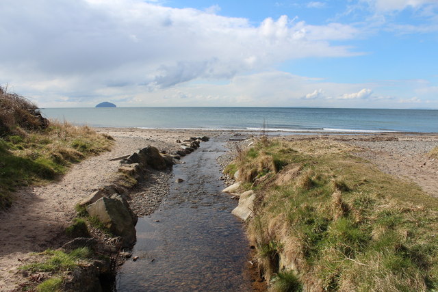
Image: © Billy McCrorie Taken: 27 Mar 2013
Flowing into Maidenhead Bay with view of the Ailsa Craig. The path on the left is part of the Ayrshire Coastal path.
Images are licensed for reuse under creativecommons.org/licenses/by-sa/2.0
Image Location
Latitude
55.343147
Longitude
-4.808799