No footway for ? mile, B4281, Aberkenfig
Introduction
The photograph on this page of No footway for ? mile, B4281, Aberkenfig by Jaggery as part of the Geograph project.
The Geograph project started in 2005 with the aim of publishing, organising and preserving representative images for every square kilometre of Great Britain, Ireland and the Isle of Man.

There are currently over 7.5m images from over 14,400 individuals and you can help contribute to the project by visiting https://www.geograph.org.uk
No footway for ? mile, B4281, Aberkenfig
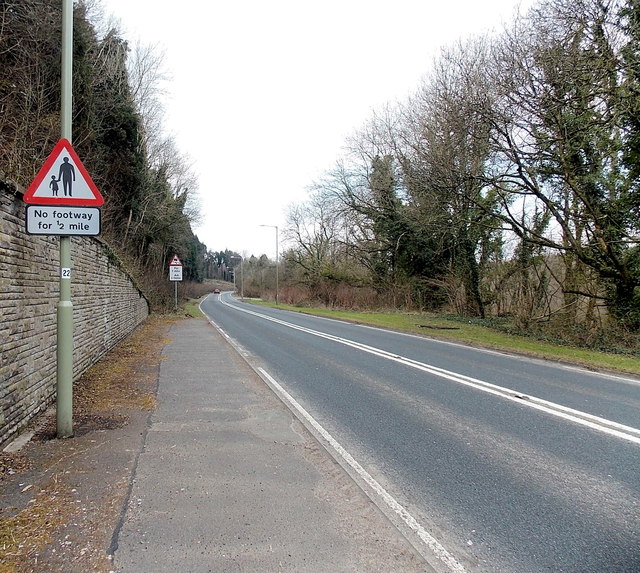
Image: © Jaggery Taken: 27 Mar 2013
I did not see any road name signs here, but maps show that Park Road becomes Fountain Road somewhere along this stretch of the B4281 through Pennsylvania Wood.
Images are licensed for reuse under creativecommons.org/licenses/by-sa/2.0
Image Location
Latitude
51.538642
Longitude
-3.601877