Access lane to Candwr Farm north of Ponthir
Introduction
The photograph on this page of Access lane to Candwr Farm north of Ponthir by Jaggery as part of the Geograph project.
The Geograph project started in 2005 with the aim of publishing, organising and preserving representative images for every square kilometre of Great Britain, Ireland and the Isle of Man.

There are currently over 7.5m images from over 14,400 individuals and you can help contribute to the project by visiting https://www.geograph.org.uk
Access lane to Candwr Farm north of Ponthir
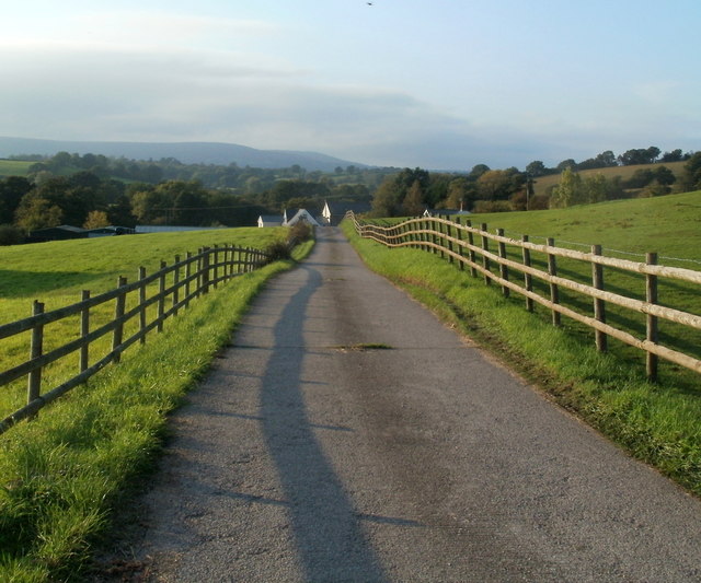
Image: © Jaggery Taken: 27 Sep 2011
The farm buildings are about 200 metres away.
Images are licensed for reuse under creativecommons.org/licenses/by-sa/2.0
Image Location
Latitude
51.63781
Longitude
-2.971566