Wetmeadow Wood
Introduction
The photograph on this page of Wetmeadow Wood by Jonathan Billinger as part of the Geograph project.
The Geograph project started in 2005 with the aim of publishing, organising and preserving representative images for every square kilometre of Great Britain, Ireland and the Isle of Man.

There are currently over 7.5m images from over 14,400 individuals and you can help contribute to the project by visiting https://www.geograph.org.uk
Wetmeadow Wood
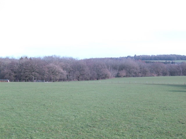
Image: © Jonathan Billinger Taken: 14 Feb 2007
The going underfoot leads to the aptly named woodland north of Redbarn Farm.
Images are licensed for reuse under creativecommons.org/licenses/by-sa/2.0
Image Location
Latitude
51.75202
Longitude
-2.733538