Maidenbower Community Centre
Introduction
The photograph on this page of Maidenbower Community Centre by Robin Webster as part of the Geograph project.
The Geograph project started in 2005 with the aim of publishing, organising and preserving representative images for every square kilometre of Great Britain, Ireland and the Isle of Man.

There are currently over 7.5m images from over 14,400 individuals and you can help contribute to the project by visiting https://www.geograph.org.uk
Maidenbower Community Centre
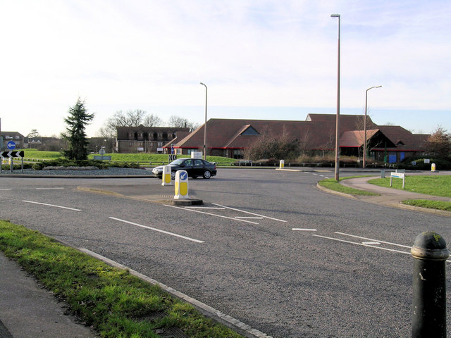
Image: © Robin Webster Taken: 14 Feb 2007
This is the large building beyond the roundabout in one of the newest parts of what used to called the New Town of Crawley. Maidenbower is the name of the area, not invented but the name of a former farm here.
Images are licensed for reuse under creativecommons.org/licenses/by-sa/2.0
Image Location


Leaflet Map data © OpenStreetMap
Latitude
51.106613
Longitude
-0.151879