Pastoral view south of Raglan
Introduction
The photograph on this page of Pastoral view south of Raglan by Jonathan Billinger as part of the Geograph project.
The Geograph project started in 2005 with the aim of publishing, organising and preserving representative images for every square kilometre of Great Britain, Ireland and the Isle of Man.

There are currently over 7.5m images from over 14,400 individuals and you can help contribute to the project by visiting https://www.geograph.org.uk
Pastoral view south of Raglan
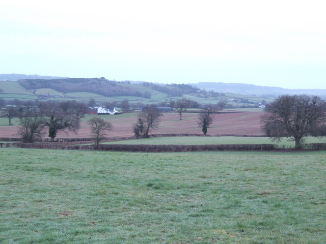
Image: © Jonathan Billinger Taken: 14 Feb 2007
The contrast of the red soils and winter-hued grass is very evident. The farm visible is Gwern-eiddig, which is in the next gridsquare.
Images are licensed for reuse under creativecommons.org/licenses/by-sa/2.0
Image Location
Latitude
51.753045
Longitude
-2.860894