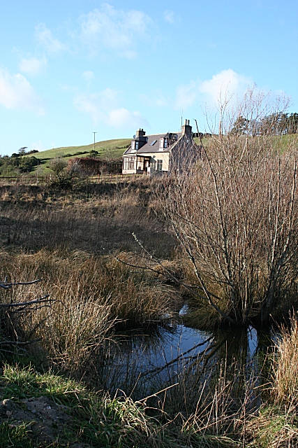
Neuk of Maisley
Introduction
The photograph on this page of Neuk of Maisley by Anne Burgess as part of the Geograph project.
The Geograph project started in 2005 with the aim of publishing, organising and preserving representative images for every square kilometre of Great Britain, Ireland and the Isle of Man.
There are currently over 7.5m images from over 14,400 individuals and you can help contribute to the project by visiting https://www.geograph.org.uk

Image: © Anne Burgess Taken: 14 Feb 2007
This house near Maisley isn't shown on the 1872 Ordnance Survey map, so presumably dates from the late 19th century. It is just above the site of the former Maisley Lime Works, which was already disused by 1872. The limeworks lay on an outcrop of Upper Dalradian limestone which can be traced from Shetland to Kintyre, and again in Ireland.
Image Location


