Crossroads near Higher Gimble
Introduction
The photograph on this page of Crossroads near Higher Gimble by David Smith as part of the Geograph project.
The Geograph project started in 2005 with the aim of publishing, organising and preserving representative images for every square kilometre of Great Britain, Ireland and the Isle of Man.

There are currently over 7.5m images from over 14,400 individuals and you can help contribute to the project by visiting https://www.geograph.org.uk
Crossroads near Higher Gimble
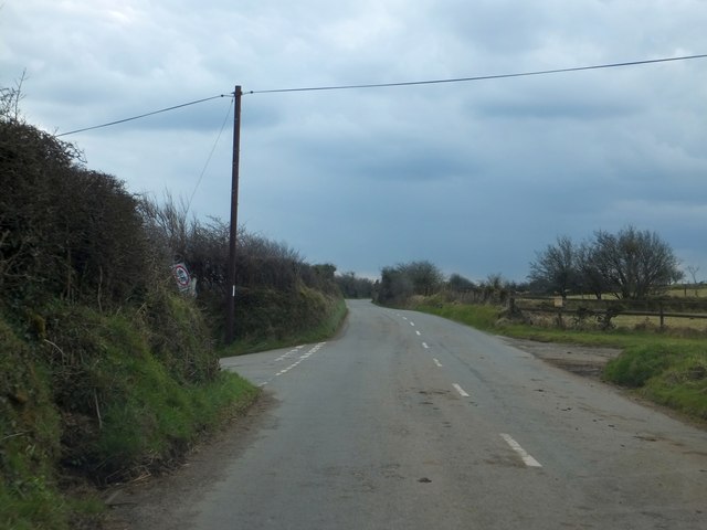
Image: © David Smith Taken: 20 Mar 2013
The road to the right is an access road to several farms on the moorland; on the left is a minor road to Jaysland
Images are licensed for reuse under creativecommons.org/licenses/by-sa/2.0
Image Location
Latitude
50.501295
Longitude
-4.471004