Bassenthwaite village and Skiddaw
Introduction
The photograph on this page of Bassenthwaite village and Skiddaw by David Purchase as part of the Geograph project.
The Geograph project started in 2005 with the aim of publishing, organising and preserving representative images for every square kilometre of Great Britain, Ireland and the Isle of Man.

There are currently over 7.5m images from over 14,400 individuals and you can help contribute to the project by visiting https://www.geograph.org.uk
Bassenthwaite village and Skiddaw
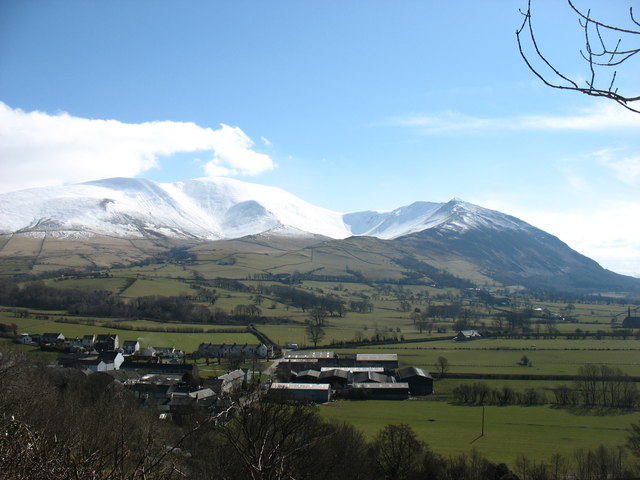
Image: © David Purchase Taken: 21 Mar 2013
The Skiddaw range is here seen from the north, above the village. Bakestall, and Skiddaw itself, are seen on the left, with Carl Side, Long Side and Ullock Pike forming the ridge to the right.
Images are licensed for reuse under creativecommons.org/licenses/by-sa/2.0
Image Location
Latitude
54.678928
Longitude
-3.197883