Snowbound Cowbound Lane
Introduction
The photograph on this page of Snowbound Cowbound Lane by Karl and Ali as part of the Geograph project.
The Geograph project started in 2005 with the aim of publishing, organising and preserving representative images for every square kilometre of Great Britain, Ireland and the Isle of Man.

There are currently over 7.5m images from over 14,400 individuals and you can help contribute to the project by visiting https://www.geograph.org.uk
Snowbound Cowbound Lane
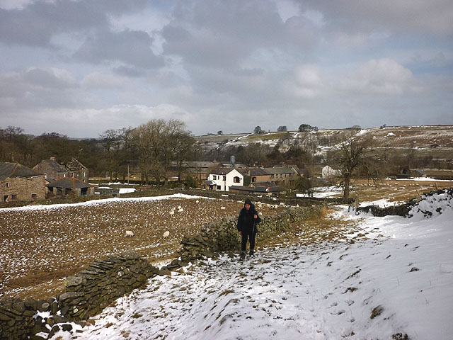
Image: © Karl and Ali Taken: 24 Mar 2013
Strong easterlies which have been blowing for many days have deposited snow between the walls of the relatively sheltered lane. Behind is the hamlet of Town Head, a 'suburb'of Longdale.
Images are licensed for reuse under creativecommons.org/licenses/by-sa/2.0
Image Location
Latitude
54.437995
Longitude
-2.548677