Shropshire Union Canal
Introduction
The photograph on this page of Shropshire Union Canal by Dennis Turner as part of the Geograph project.
The Geograph project started in 2005 with the aim of publishing, organising and preserving representative images for every square kilometre of Great Britain, Ireland and the Isle of Man.

There are currently over 7.5m images from over 14,400 individuals and you can help contribute to the project by visiting https://www.geograph.org.uk
Shropshire Union Canal
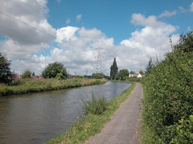
Image: © Dennis Turner Taken: 5 Aug 2005
Passing to the East of the Blacon district of Chester, at this point the canal is heading north to Ellesmere Port, a town created for the canal in the late 1700s.
Images are licensed for reuse under creativecommons.org/licenses/by-sa/2.0
Image Location
Latitude
53.208295
Longitude
-2.908804