Quaas Loaning
Introduction
The photograph on this page of Quaas Loaning by Richard Dorrell as part of the Geograph project.
The Geograph project started in 2005 with the aim of publishing, organising and preserving representative images for every square kilometre of Great Britain, Ireland and the Isle of Man.

There are currently over 7.5m images from over 14,400 individuals and you can help contribute to the project by visiting https://www.geograph.org.uk
Quaas Loaning
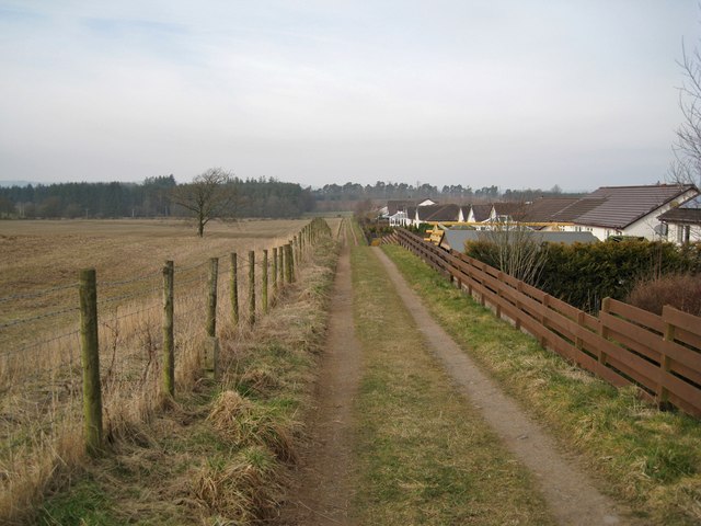
Image: © Richard Dorrell Taken: 4 Mar 2013
At this unusually named location, a farm track runs between open farmland and the backs of houses in West Acres. The track provides pedestrian access to walks in the Turnmuir Plantation.
Images are licensed for reuse under creativecommons.org/licenses/by-sa/2.0
Image Location
Latitude
55.114596
Longitude
-3.36234