Trig point, hedge and barn
Introduction
The photograph on this page of Trig point, hedge and barn by Trevor Littlewood as part of the Geograph project.
The Geograph project started in 2005 with the aim of publishing, organising and preserving representative images for every square kilometre of Great Britain, Ireland and the Isle of Man.

There are currently over 7.5m images from over 14,400 individuals and you can help contribute to the project by visiting https://www.geograph.org.uk
Trig point, hedge and barn
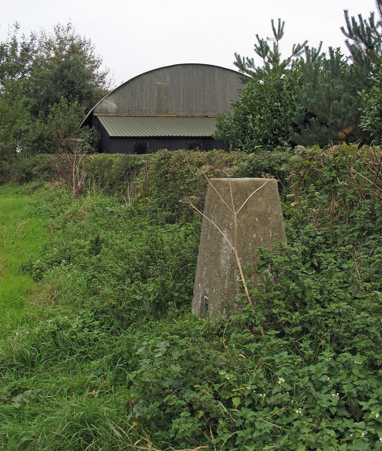
Image: © Trevor Littlewood Taken: 7 Oct 2005
The barn belongs to Langton Hill (farm) and the trig point is known by the OS by the same name; it has flush bracket number S4685.
Images are licensed for reuse under creativecommons.org/licenses/by-sa/2.0
Image Location
Latitude
53.206595
Longitude
-0.134063