Crook By-pass
Introduction
The photograph on this page of Crook By-pass by Oliver Dixon as part of the Geograph project.
The Geograph project started in 2005 with the aim of publishing, organising and preserving representative images for every square kilometre of Great Britain, Ireland and the Isle of Man.

There are currently over 7.5m images from over 14,400 individuals and you can help contribute to the project by visiting https://www.geograph.org.uk
Crook By-pass
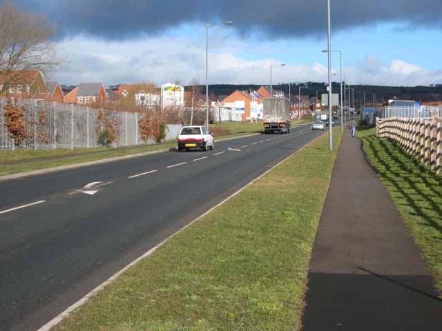
Image: © Oliver Dixon Taken: 13 Feb 2007
Some old railways become cycle paths Image, some even take up a new life as a metro line Image, but the worst fate that could possibly become a disused railway is to become a road! This is the Crook By-pass (A690) opened 2004 which at this point follows the line of the old railway which formerly ran from Bishop Auckland and the Wear Valley Junction through Crook and over into the Deerness Valley.
Images are licensed for reuse under creativecommons.org/licenses/by-sa/2.0
Image Location


Leaflet Map data © OpenStreetMap
Latitude
54.708412
Longitude
-1.751805