Pastures, Bourton Grounds
Introduction
The photograph on this page of Pastures, Bourton Grounds by Andrew Smith as part of the Geograph project.
The Geograph project started in 2005 with the aim of publishing, organising and preserving representative images for every square kilometre of Great Britain, Ireland and the Isle of Man.

There are currently over 7.5m images from over 14,400 individuals and you can help contribute to the project by visiting https://www.geograph.org.uk
Pastures, Bourton Grounds
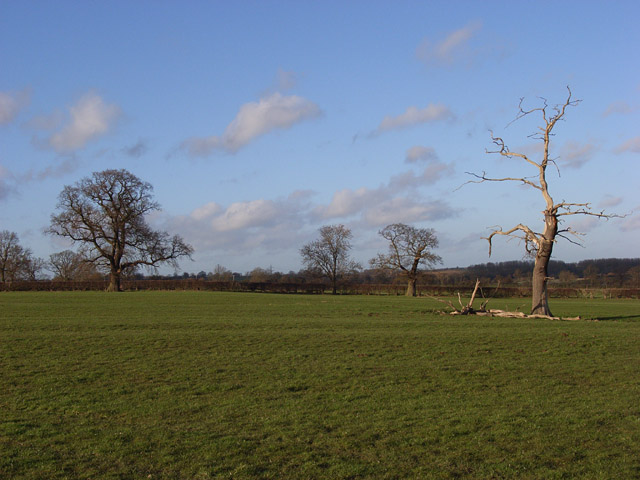
Image: © Andrew Smith Taken: 11 Feb 2007
On the footpath between Thornborough Bridge and White House Farm.
Images are licensed for reuse under creativecommons.org/licenses/by-sa/2.0
Image Location
Latitude
51.993413
Longitude
-0.944052