Tooting Station
Introduction
The photograph on this page of Tooting Station by Nigel Mykura as part of the Geograph project.
The Geograph project started in 2005 with the aim of publishing, organising and preserving representative images for every square kilometre of Great Britain, Ireland and the Isle of Man.

There are currently over 7.5m images from over 14,400 individuals and you can help contribute to the project by visiting https://www.geograph.org.uk
Tooting Station
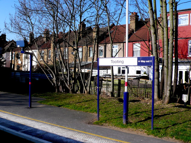
Image: © Nigel Mykura Taken: 5 Mar 2013
The up platform as viewed out an open window of a train standing at the down platform. In the back are the terraced houses in Link Rd
Images are licensed for reuse under creativecommons.org/licenses/by-sa/2.0
Image Location
Latitude
51.419878
Longitude
-0.160414