Links Rd
Introduction
The photograph on this page of Links Rd by Nigel Mykura as part of the Geograph project.
The Geograph project started in 2005 with the aim of publishing, organising and preserving representative images for every square kilometre of Great Britain, Ireland and the Isle of Man.

There are currently over 7.5m images from over 14,400 individuals and you can help contribute to the project by visiting https://www.geograph.org.uk
Links Rd
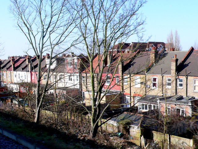
Image: © Nigel Mykura Taken: 5 Mar 2013
This is the back of the terrace in Links Rd where all the houses back on to the railway embankment. Links Rd gets its name from the fact it is a long straight road that links a number of shorter cross-running roads.
Images are licensed for reuse under creativecommons.org/licenses/by-sa/2.0
Image Location
Latitude
51.41879
Longitude
-0.154129