Methodist chapel at Barripper
Introduction
The photograph on this page of Methodist chapel at Barripper by Humphrey Bolton as part of the Geograph project.
The Geograph project started in 2005 with the aim of publishing, organising and preserving representative images for every square kilometre of Great Britain, Ireland and the Isle of Man.

There are currently over 7.5m images from over 14,400 individuals and you can help contribute to the project by visiting https://www.geograph.org.uk
Methodist chapel at Barripper
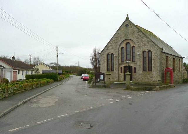
Image: © Humphrey Bolton Taken: 26 Feb 2012
UMFC over the door, but it is not a Methodist Free Church. It is part of the Camborne-Redruth Circuit of Methodist chapels. http://www.camborne-redruth.org/home/index.php/chapels/barripper
Images are licensed for reuse under creativecommons.org/licenses/by-sa/2.0
Image Location
Latitude
50.196702
Longitude
-5.316504