How Wood railway station
Introduction
The photograph on this page of How Wood railway station by Nigel Thompson as part of the Geograph project.
The Geograph project started in 2005 with the aim of publishing, organising and preserving representative images for every square kilometre of Great Britain, Ireland and the Isle of Man.

There are currently over 7.5m images from over 14,400 individuals and you can help contribute to the project by visiting https://www.geograph.org.uk
How Wood railway station
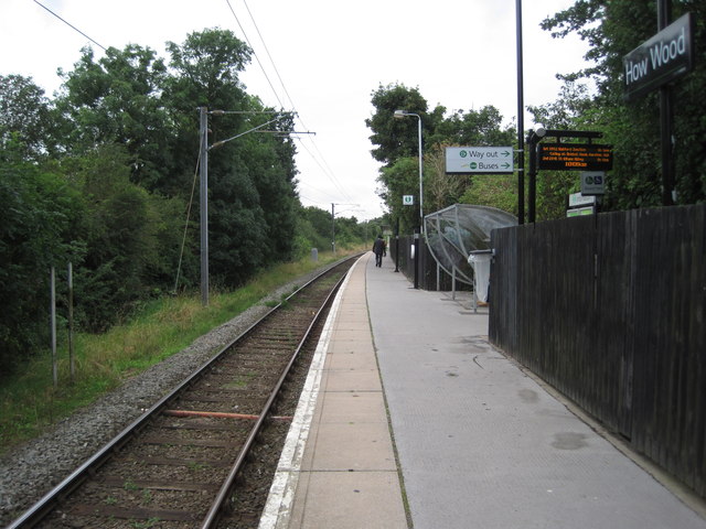
Image: © Nigel Thompson Taken: 13 Aug 2012
Opened in 1988 by British Rail on its line from Watford Junction to St. Albans Abbey. View south west towards Bricket Wood and Watford Junction.
Images are licensed for reuse under creativecommons.org/licenses/by-sa/2.0
Image Location
Latitude
51.717306
Longitude
-0.345106