Baynham's Farm from the A438
Introduction
The photograph on this page of Baynham's Farm from the A438 by Jo and Steve Turner as part of the Geograph project.
The Geograph project started in 2005 with the aim of publishing, organising and preserving representative images for every square kilometre of Great Britain, Ireland and the Isle of Man.

There are currently over 7.5m images from over 14,400 individuals and you can help contribute to the project by visiting https://www.geograph.org.uk
Baynham's Farm from the A438
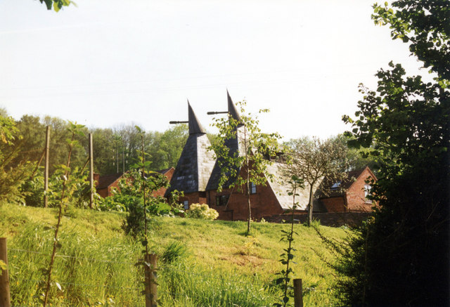
Image: © Jo and Steve Turner Taken: 25 May 1997
The farm includes an 18th century Grade II Listed timber-frame on a rubble plinth barn.
Images are licensed for reuse under creativecommons.org/licenses/by-sa/2.0
Image Location
Latitude
52.049936
Longitude
-2.45857