Hills Farm near Bartlow
Introduction
The photograph on this page of Hills Farm near Bartlow by David Beresford as part of the Geograph project.
The Geograph project started in 2005 with the aim of publishing, organising and preserving representative images for every square kilometre of Great Britain, Ireland and the Isle of Man.

There are currently over 7.5m images from over 14,400 individuals and you can help contribute to the project by visiting https://www.geograph.org.uk
Hills Farm near Bartlow
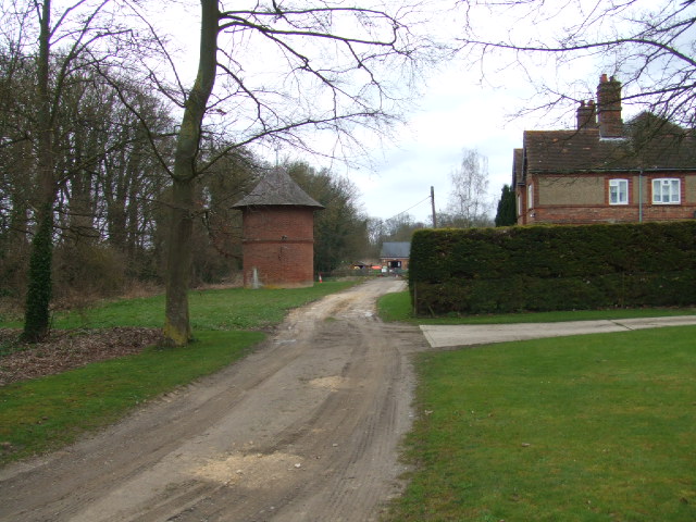
Image: © David Beresford Taken: 21 Mar 2013
The circular building is a former water tower. At the end of the lane is a children's nursery.
Images are licensed for reuse under creativecommons.org/licenses/by-sa/2.0
Image Location
Latitude
52.077231
Longitude
0.312761