Totteridge war memorial
Introduction
The photograph on this page of Totteridge war memorial by Robin Webster as part of the Geograph project.
The Geograph project started in 2005 with the aim of publishing, organising and preserving representative images for every square kilometre of Great Britain, Ireland and the Isle of Man.

There are currently over 7.5m images from over 14,400 individuals and you can help contribute to the project by visiting https://www.geograph.org.uk
Totteridge war memorial
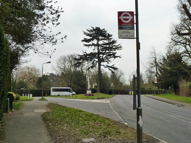
Image: © Robin Webster Taken: 21 Mar 2013
The memorial is on a grass triangle at the road junction together with a tall coniferous tree. The near bus stop is named after the memorial, and serves route 251 towards Whetstone, together with some school services.
Images are licensed for reuse under creativecommons.org/licenses/by-sa/2.0
Image Location
Latitude
51.63345
Longitude
-0.20106