A4063 cattle grid, Sarn near Bridgend
Introduction
The photograph on this page of A4063 cattle grid, Sarn near Bridgend by Jaggery as part of the Geograph project.
The Geograph project started in 2005 with the aim of publishing, organising and preserving representative images for every square kilometre of Great Britain, Ireland and the Isle of Man.

There are currently over 7.5m images from over 14,400 individuals and you can help contribute to the project by visiting https://www.geograph.org.uk
A4063 cattle grid, Sarn near Bridgend
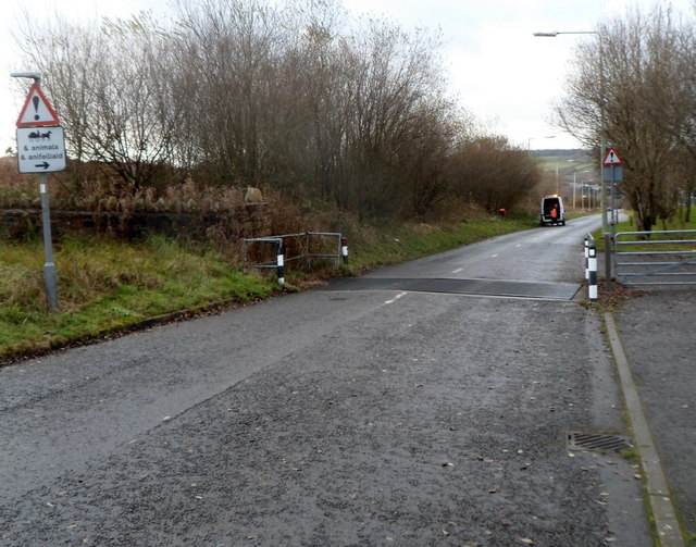
Image: © Jaggery Taken: 7 Dec 2012
The sign on the left directs those driving horse-drawn carriages and those in charge of other animals to the gate on the right, to bypass the grid.
Images are licensed for reuse under creativecommons.org/licenses/by-sa/2.0
Image Location
Latitude
51.530091
Longitude
-3.575915