Fenced-off site of the demolished Barry Elim Church, Barry
Introduction
The photograph on this page of Fenced-off site of the demolished Barry Elim Church, Barry by Jaggery as part of the Geograph project.
The Geograph project started in 2005 with the aim of publishing, organising and preserving representative images for every square kilometre of Great Britain, Ireland and the Isle of Man.

There are currently over 7.5m images from over 14,400 individuals and you can help contribute to the project by visiting https://www.geograph.org.uk
Fenced-off site of the demolished Barry Elim Church, Barry
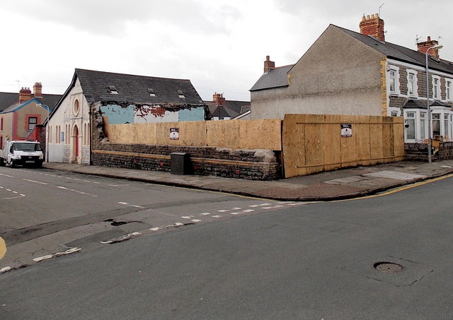
Image: © Jaggery Taken: 17 Mar 2013
The church on the corner on Pyke Street and Crossways Street was demolished in the autumn of 2012 after wind damage resulted in an unstable roof and walls. The year 1892 is shown on the building on the left (perhaps the church hall). http://www.geograph.org.uk/photo/3378462
Images are licensed for reuse under creativecommons.org/licenses/by-sa/2.0
Image Location
Latitude
51.408082
Longitude
-3.262871