Former rail bridge, Lower Brynaman
Introduction
The photograph on this page of Former rail bridge, Lower Brynaman by Nigel Davies as part of the Geograph project.
The Geograph project started in 2005 with the aim of publishing, organising and preserving representative images for every square kilometre of Great Britain, Ireland and the Isle of Man.

There are currently over 7.5m images from over 14,400 individuals and you can help contribute to the project by visiting https://www.geograph.org.uk
Former rail bridge, Lower Brynaman
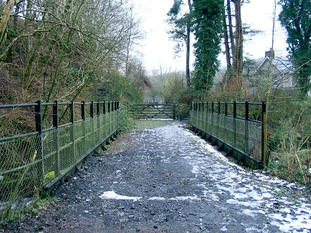
Image: © Nigel Davies Taken: 10 Feb 2007
A long gone railway line is now a path and access to houses.
Images are licensed for reuse under creativecommons.org/licenses/by-sa/2.0
Image Location
Latitude
51.807688
Longitude
-3.875112