North of Marish Wharf
Introduction
The photograph on this page of North of Marish Wharf by Des Blenkinsopp as part of the Geograph project.
The Geograph project started in 2005 with the aim of publishing, organising and preserving representative images for every square kilometre of Great Britain, Ireland and the Isle of Man.

There are currently over 7.5m images from over 14,400 individuals and you can help contribute to the project by visiting https://www.geograph.org.uk
North of Marish Wharf
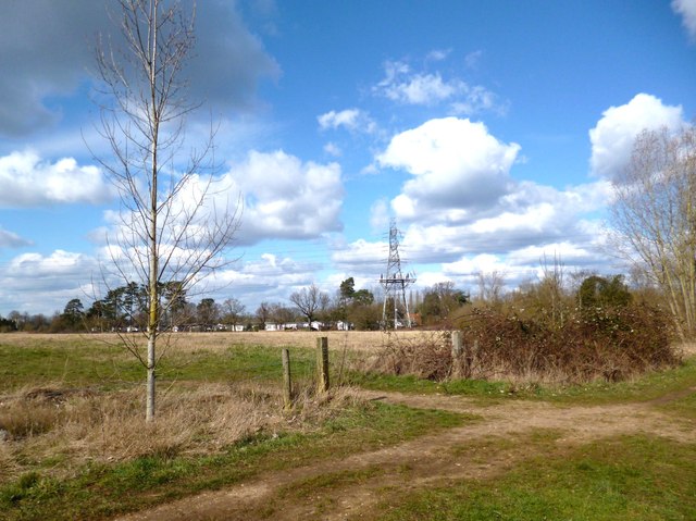
Image: © Des Blenkinsopp Taken: 14 Mar 2013
As often happens on the fringes of urban areas, along the north side of the Slough Canal is a fair sized tract of open land not used for anything much.
Images are licensed for reuse under creativecommons.org/licenses/by-sa/2.0
Image Location
Latitude
51.510967
Longitude
-0.551319