Marish Wharf
Introduction
The photograph on this page of Marish Wharf by Des Blenkinsopp as part of the Geograph project.
The Geograph project started in 2005 with the aim of publishing, organising and preserving representative images for every square kilometre of Great Britain, Ireland and the Isle of Man.

There are currently over 7.5m images from over 14,400 individuals and you can help contribute to the project by visiting https://www.geograph.org.uk
Marish Wharf
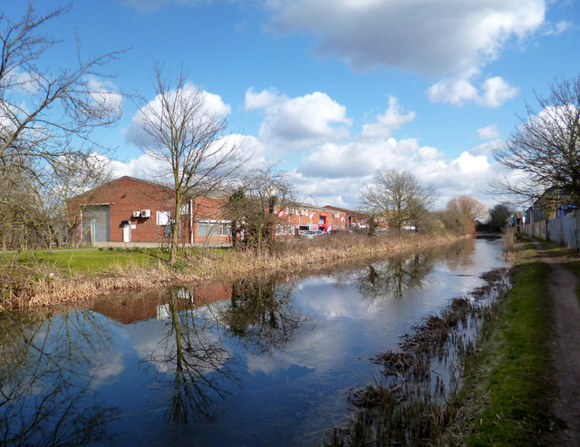
Image: © Des Blenkinsopp Taken: 14 Mar 2013
Unremarkable modern business units beside the canal, but the name is much older. The village of Langley was once known as Langley Marish, the second part of the name derived from Christiana de Marecis who had the Manor during the reign of Edward 1st. The local C of E parish still uses the name http://langleymarish.com/
Images are licensed for reuse under creativecommons.org/licenses/by-sa/2.0
Image Location
Latitude
51.509571
Longitude
-0.554821