A field in two parishes
Introduction
The photograph on this page of A field in two parishes by Robin Webster as part of the Geograph project.
The Geograph project started in 2005 with the aim of publishing, organising and preserving representative images for every square kilometre of Great Britain, Ireland and the Isle of Man.

There are currently over 7.5m images from over 14,400 individuals and you can help contribute to the project by visiting https://www.geograph.org.uk
A field in two parishes
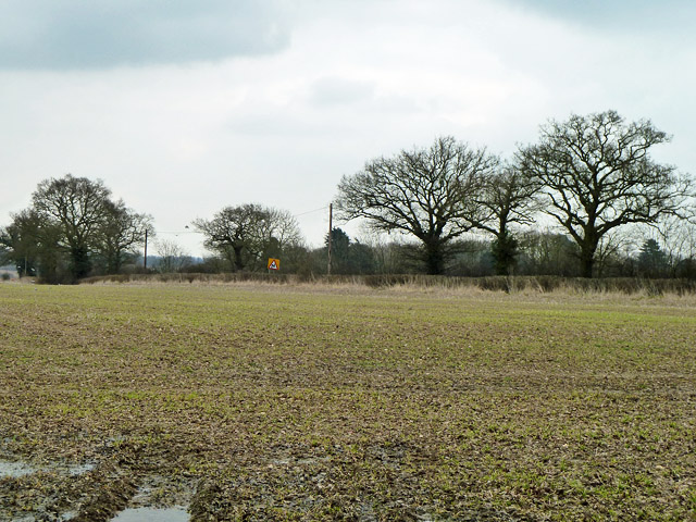
Image: © Robin Webster Taken: 19 Mar 2013
Viewed from Peterfield's Lane, which makes a junction to the right with the A131 Halstead Road, seen beyond the hedge. Crossing the field diagonally from the junction corner is the boundary between Gosfield parish and Greenstead Green and Halstead Rural parish.
Images are licensed for reuse under creativecommons.org/licenses/by-sa/2.0
Image Location
Latitude
51.923249
Longitude
0.602706