Yate Fire Station
Introduction
The photograph on this page of Yate Fire Station by Jaggery as part of the Geograph project.
The Geograph project started in 2005 with the aim of publishing, organising and preserving representative images for every square kilometre of Great Britain, Ireland and the Isle of Man.

There are currently over 7.5m images from over 14,400 individuals and you can help contribute to the project by visiting https://www.geograph.org.uk
Yate Fire Station
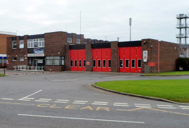
Image: © Jaggery Taken: 10 Oct 2012
Part of Avon Fire & Rescue Service, Yate Fire Station is set back from the south side of Station Road, next to Yate Ambulance Station http://www.geograph.org.uk/photo/3375746 out of shot on the right.
Images are licensed for reuse under creativecommons.org/licenses/by-sa/2.0
Image Location


Leaflet Map data © OpenStreetMap
Latitude
51.541297
Longitude
-2.413783