Stuartfield Lodge from the east
Introduction
The photograph on this page of Stuartfield Lodge from the east by Robert Graham as part of the Geograph project.
The Geograph project started in 2005 with the aim of publishing, organising and preserving representative images for every square kilometre of Great Britain, Ireland and the Isle of Man.

There are currently over 7.5m images from over 14,400 individuals and you can help contribute to the project by visiting https://www.geograph.org.uk
Stuartfield Lodge from the east
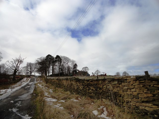
Image: © Robert Graham Taken: 13 Mar 2013
Looking westward from Weatherleyhill Lane. The farm stands just east of the A68, a few miles south of Castleside.
Images are licensed for reuse under creativecommons.org/licenses/by-sa/2.0
Image Location


Leaflet Map data © OpenStreetMap
Latitude
54.79927
Longitude
-1.869465