Towards Holne
Introduction
The photograph on this page of Towards Holne by Derek Harper as part of the Geograph project.
The Geograph project started in 2005 with the aim of publishing, organising and preserving representative images for every square kilometre of Great Britain, Ireland and the Isle of Man.

There are currently over 7.5m images from over 14,400 individuals and you can help contribute to the project by visiting https://www.geograph.org.uk
Towards Holne
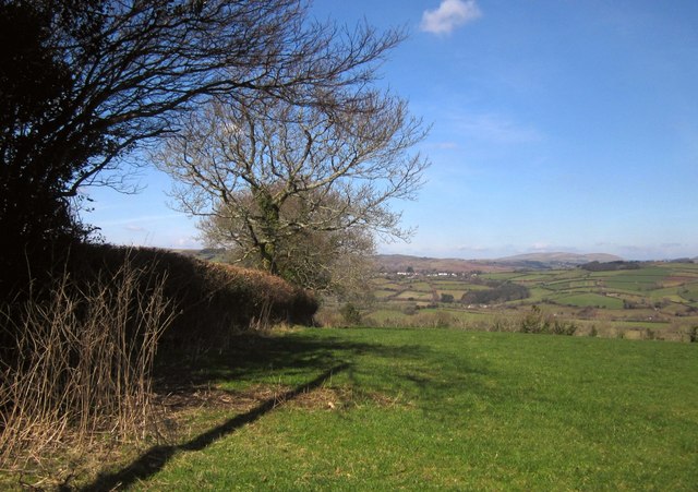
Image: © Derek Harper Taken: 14 Mar 2013
Trees along a field boundary running away from the lane between Cross Furzes and Button. The ridgetop village of Holne is across the valleys of the Mardle and the Holy Brook. Prominent in the distance on the right is Hamel Down.
Images are licensed for reuse under creativecommons.org/licenses/by-sa/2.0
Image Location
Latitude
50.487507
Longitude
-3.818678