Blundells Drive, Moreton
Introduction
The photograph on this page of Blundells Drive, Moreton by William Starkey as part of the Geograph project.
The Geograph project started in 2005 with the aim of publishing, organising and preserving representative images for every square kilometre of Great Britain, Ireland and the Isle of Man.

There are currently over 7.5m images from over 14,400 individuals and you can help contribute to the project by visiting https://www.geograph.org.uk
Blundells Drive, Moreton
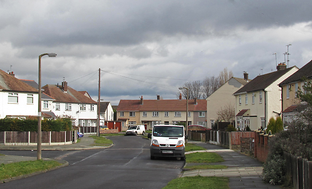
Image: © William Starkey Taken: 17 Mar 2013
Housing on Blundell's Drive, Moreton. Grid square SJ2690 is predominantly a residential area, although it also contains Moreton train station and the Premier Brands factory.
Images are licensed for reuse under creativecommons.org/licenses/by-sa/2.0
Image Location
Latitude
53.404762
Longitude
-3.104623