Churchill Close
Introduction
The photograph on this page of Churchill Close by Graham Horn as part of the Geograph project.
The Geograph project started in 2005 with the aim of publishing, organising and preserving representative images for every square kilometre of Great Britain, Ireland and the Isle of Man.

There are currently over 7.5m images from over 14,400 individuals and you can help contribute to the project by visiting https://www.geograph.org.uk
Churchill Close
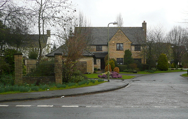
Image: © Graham Horn Taken: 16 Mar 2013
A group of about 10 houses, off the A44, opposite Blenheim Park, where Sir Winston Churchill was born. Shakespeare's Way passes here. The bard would not have known about Churchill, except as the name of a nearby village.
Images are licensed for reuse under creativecommons.org/licenses/by-sa/2.0
Image Location
Latitude
51.843933
Longitude
-1.346019