Lime Close
Introduction
The photograph on this page of Lime Close by Ian Capper as part of the Geograph project.
The Geograph project started in 2005 with the aim of publishing, organising and preserving representative images for every square kilometre of Great Britain, Ireland and the Isle of Man.

There are currently over 7.5m images from over 14,400 individuals and you can help contribute to the project by visiting https://www.geograph.org.uk
Lime Close
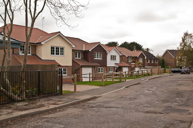
Image: © Ian Capper Taken: 6 Nov 2011
New housing built in around 2010 on the site of St Michael's Church, a Roman Catholic Mass Centre built in the 1950s on the site of Woodhatch House and decommissioned in 2003. The close itself dates from around the same time (two of the original houses can be seen in the background).
Images are licensed for reuse under creativecommons.org/licenses/by-sa/2.0
Image Location
Latitude
51.225159
Longitude
-0.20097