Severn Valley Railway line near Stourport Road, Kidderminster
Introduction
The photograph on this page of Severn Valley Railway line near Stourport Road, Kidderminster by P L Chadwick as part of the Geograph project.
The Geograph project started in 2005 with the aim of publishing, organising and preserving representative images for every square kilometre of Great Britain, Ireland and the Isle of Man.

There are currently over 7.5m images from over 14,400 individuals and you can help contribute to the project by visiting https://www.geograph.org.uk
Severn Valley Railway line near Stourport Road, Kidderminster
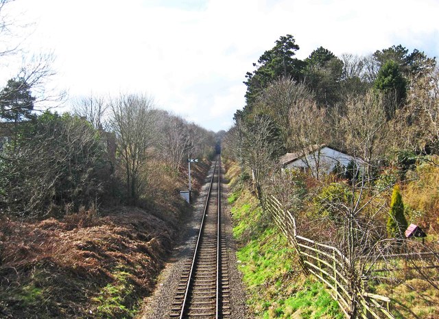
Image: © P L Chadwick Taken: 18 Mar 2013
The heritage railway line is seen here heading towards Bridgnorth via Bewdley. The building on the right is marked on the map as Railway Cottage, so may have been connected with the railway long ago. Photographed from the bridge over the railway in Stourport Road (the A451). Image
Images are licensed for reuse under creativecommons.org/licenses/by-sa/2.0
Image Location
Latitude
52.371312
Longitude
-2.26287